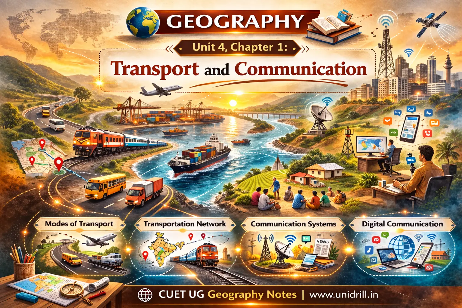
1. Transport: Definition and Core Concepts
Transport is a service or facility for the carriage of persons and goods from one location to another using humans, animals, and various vehicles. It is an organised service industry created to satisfy the basic human need for mobility.
Measuring Distance: Transport distance can be measured in three ways:
Km distance: The actual route length.
Time distance: The time taken to travel a route.
Cost distance: The expense incurred during travel.
Isochrones: On maps, lines joining places that are equal in terms of the time taken to reach them are called isochrone lines.
Transport Network: A network is formed when several places, known as nodes (meeting points of routes), are joined together by a series of routes called links. A highly developed network has many links, indicating superior connectivity.
2. Land Transport: Roadways
Most movement of goods and services takes place over land. Early transport relied on human porters (e.g., palanquins) and pack animals like horses, mules, and camels.
The invention of the steam engine in the 18th century and the internal combustion engine later revolutionised land travel.
I. Road Transport Characteristics
Road transport is the most economical for short distances and is preferred for providing door-to-door service. However, unmetalled roads often become unmotorable during rainy seasons, making railways a more effective solution for heavy rains and floods.
II. Global Highway Systems
Highways are metalled roads connecting distant places, designed for unobstructed vehicular movement.
North America: Boasts high highway density (0.65 km per sq km), where every place is within 20 km of a highway. Key routes include the Trans-Canadian Highway (Vancouver to St. John’s City) and the Alaskan Highway.
The Pan-American Highway: Planned to connect South America, Central America, and the USA-Canada.
Russia: A dense network exists west of the Urals with Moscow as the hub.
China: Highways criss-cross the country, including a new link between Chengdu and Lhasa in Tibet.
III. Road Transport in India
India possesses the second largest road network in the world, totalling about 62.16 lakh km as of 2020-21.
Classification:
National Highways (NH): Constructed and maintained by the Central Government for inter-state movement and defence. They constitute only 2% of total road length but carry 40% of the traffic. The National Highways Authority of India (NHAI), operationalised in 1995, manages these.
State Highways (SH): Link state capitals with district headquarters.
Rural Roads: Vital for rural connectivity, making up about 80% of India's total road length.
Major Projects:
Golden Quadrilateral (GQ): A 5,846-km high-density corridor connecting Delhi, Mumbai, Chennai, and Kolkata.
North-South and East-West Corridors: Aim to connect Srinagar to Kanniyakumari and Silchar to Porbandar.
Bharatmala Pariyojana: A programme focused on developing 26,000 km of economic corridors to enhance logistic efficiency.
Border Roads: Maintained by the Border Road Organisation (BRO) (est. 1960), these integrate remote areas and provide defence preparedness. The Atal Tunnel (9.02 km), the world's longest highway tunnel above 3,000m, connects Manali to the Lahaul-Spiti valley year-round.
3. Land Transport: Railways
Railways are the preferred mode for moving large volumes of bulky materials and passengers over long distances.
I. General Characteristics
Gauges: Railway gauges vary globally, classified as broad (over 1.5m), standard (1.44m - used in the UK), metre (1m), and smaller gauges.
Network Density: Europe has the world's most dense rail network, with Belgium having the highest density.
II. Trans-Continental Railways
These lines run across continents, linking their two ends:
Trans-Siberian Railway: The longest in the world (9,332 km), running from St. Petersburg to Vladivostok. It is double-tracked and electrified, opening Asian Russia to West European markets.
Trans-Canadian Railway: A 7,050 km line from Halifax to Vancouver. It is the "economic artery of Canada," connecting industrial regions with wheat belts and coniferous forests.
Union and Pacific Railway: Connects New York to San Francisco.
The Orient Express: Runs from Paris to Istanbul, reducing journey time significantly compared to sea routes.
III. Indian Railways
Introduced in 1853 (Bombay to Thane), Indian Railways is now the largest government undertaking in the country.
Zones: The system is divided into 17 zones.
Modernisation: Steam engines have been replaced by diesel and electric engines to increase speed and haulage capacity. Metro rail has revolutionised urban transport and helped control air pollution.
Konkan Railway: Built in 1998, this 760-km "engineering marvel" connects Roha (Maharashtra) to Mangaluru (Karnataka), crossing 146 rivers and 91 tunnels.
4. Water Transport
Water transport is the cheapest mode because it requires no route construction and the friction of water is far less than land. It is divided into oceanic routes and inland waterways.
I. Oceanic Routes and Shipping Canals
Ocean transport is essential for the international haulage of bulky materials.
Northern Atlantic Sea Route: Links North-eastern USA and North-western Europe; known as the "Big Trunk Route," it is the busiest in the world, carrying one-fourth of global trade.
Suez Canal: Constructed in 1869, it links the Mediterranean and Red Seas. It provides Europe a new gateway to the Indian Ocean, significantly reducing the distance between Liverpool and Colombo.
Panama Canal: Connects the Atlantic and Pacific Oceans. It shortens the distance between New York and San Francisco by 13,000 km.
II. Inland Waterways
Their development depends on navigability, depth, and continuity of water flow.
Global Examples: The Rhine Waterway (Germany/Netherlands) is the world's most heavily used; the Danube serves Eastern Europe; and the Volga provides 11,200 km of navigable water in Russia.
India: Has 14,500 km of navigable waterways. The Inland Waterways Authority (est. 1986) manages these.
NW 1: Ganga river (Haldia–Prayagraj), 1,620 km.
NW 2: Brahmaputra river (Sadiya-Dhubri).
NW 3: West Coast Canal (Kottapuram-Kollam).
5. Air Transport
Air transport is the fastest means of movement but also the most costly. It is vital for reaching inaccessible areas and carrying high-value or perishable goods.
Global Distribution: The USA accounts for 60 per cent of the world's airways. Major nodal points include New York, London, Paris, Mumbai, and Singapore.
In India:
Development: Real growth occurred post-Independence. The Airport Authority of India manages the air space.
UDAN Scheme: "Ude Desh ka Aam Nagrik" aims to make regional flying affordable and promote connectivity to remote routes.
Pawan Hans: A helicopter service providing support to the petroleum sector and tourism in hilly areas like the North-east.
6. Pipelines
Pipelines are used for the uninterrupted flow of liquids and gases like water, petroleum, and natural gas.
Global: The "Big Inch" in the USA carries petroleum from the Gulf of Mexico to the North-eastern States.
India: Oil India Limited (OIL) and GAIL (India) Ltd. manage the network.
The HVJ Pipeline (Hazira-Vijaipur-Jagdishpur) is a 1,700 km cross-country artery linking gas fields to industrial complexes.
A proposed Iran-India via Pakistan pipeline is intended to be the longest in the world.
7. Communication Networks
Communication involves the transmission of words, messages, facts, and ideas. Initially dependent on transport, modern technology has made communication independent of physical movement.
I. Personal and Mass Communication
Personal: Includes letters, telephones, fax, and the Internet (the most advanced system).
Mass Media:
Radio: Broadcasting in India began in 1923; became All India Radio in 1936 and Akashwani in 1957.
Television: Began in Delhi in 1959; Doordarshan (DD) was delinked from AIR in 1976.
II. Satellite Communication and Cyberspace
Satellites: Since the 1970s, satellites have rendered the cost and time of communication invariant of distance; it costs the same to communicate over 500 km as it does over 5,000 km.
India’s Systems: INSAT (multi-purpose for telecomm and meteorology) and IRS (Remote Sensing for natural resource management).
Cyberspace (Internet): This electronic digital world connects billions globally. It has made the concept of a "global village" a reality.
Digital Divide: The uneven access to information and communication technology between developed and developing nations, or between urban and rural areas. For instance, metropolitan centres in India have far better connectivity than peripheral rural areas.